
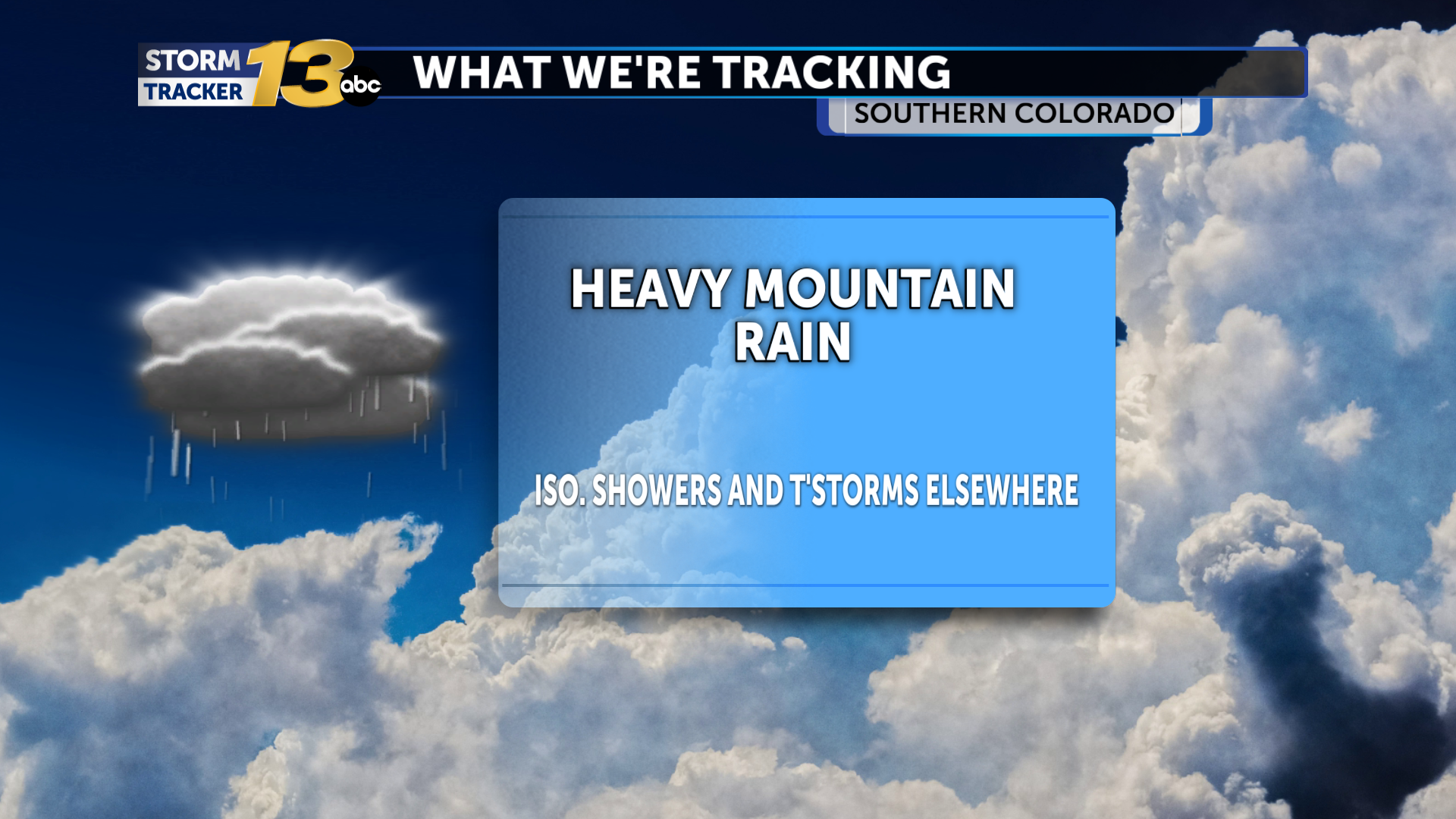
Heavy mountain precipitation continues as I-25 corridor rain chances increase
Abundant moisture from the Desert Southwest, along with strong upper-level winds, is again promoting widespread heavy rain this afternoon. A few strong Abundant moisture from the Desert Southwest and strong upper-level winds are leading to widespread heavy rain across the I-25 corridor, with thunderstorms and showers possible along the interstate and out to the Plains overnight. A cold front is expected to sweep across the area Saturday morning, increasing the odds of heavy rain through much of the day, with temperatures expected to fall back into the 50s and low 60s. Despite this, temperatures will return to normal next week, with early temperatures expected close to seasonal averages. Widespread rain is possible for the remainder of the weekend, with colder air dropping snow elevations and a few snowflakes may mix in across higher-elevation communities.
Publicados : 15 horas atrás por Dave Holder no Weather
Abundant moisture from the Desert Southwest, along with strong upper-level winds, is again promoting widespread heavy rain this afternoon. A few strong thunderstorms are not out of the question, parti... [1399 symbols]
Tópicos: Local Weather
